http://www.lib.ncsu.edu/gis/doqq.html
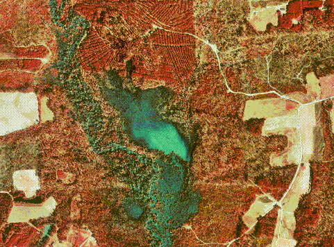
DOQQ, or Digital Orthopho Quarter Quads, are maps produced by the USGS. They are digital orthorectified aerial images that have a uniform scale. This allows one to measure directly from this map, without any image distortion caused by the tilt of the camera or the terrain. The effects of tilt and terrain are removed by a process called rectifaction, hence why they're considered 'orthorectified'. The DOQQ map above shows a 1998 colored infrared image of Johnston County.
No comments:
Post a Comment